GIS/Survey
Make informed decisions with advanced mapping and imaging backed by in-house software development and one of the industry’s largest aviation fleets.
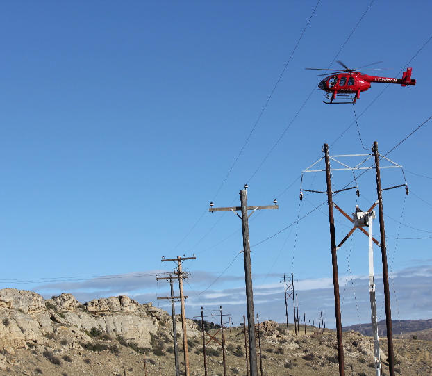
Our dedicated survey and land services team uses advanced technology to give you the most accurate results. Using drones and helicopters, our team collects point clouds, thermal data, LiDAR, and more and interprets the results through custom software solutions. In all of our survey and inspection activities, we’re committed to rigorous data security and safety standards.
Power the future with us
NOT SURE WHERE TO START?
Get in touch with us! No matter how far along your project is, Underground Pipeline Services is ready to join you in achieving your every goal. Our team is standing by to answer any questions you may have or to provide additional information. We can’t wait to hear from you.
